3 Epic Hiking Trails in Southern Africa
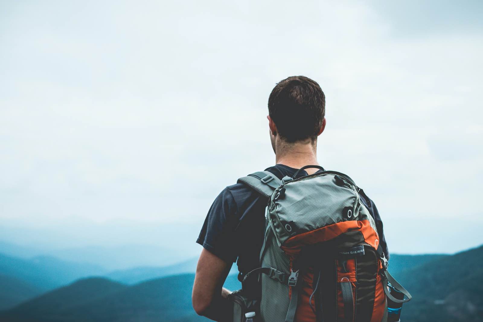
Southern Africa has some world-class hiking trails ranging in terrain, difficulty, and duration. There are coastal climbs, forest treks, and mountain excursions and canyons that take the keen outdoorsman through some of the region’s most magnificent natural scenery. These are adventures that make you breathe hard, sweat more, and marvel in a state of awe the most. A physical challenge is as good as a holiday, ridding your mind, body and soul of anything that is no longer serving you and realigning your life. Many people treat the outdoors as medicine, fuel, nutrition for the mind, and we couldn’t agree more. Get lost and found in nature on one of these three hikes plotted out in different countries in Southern Africa!
3 Epic Hiking Trails in Southern Africa are listed below.

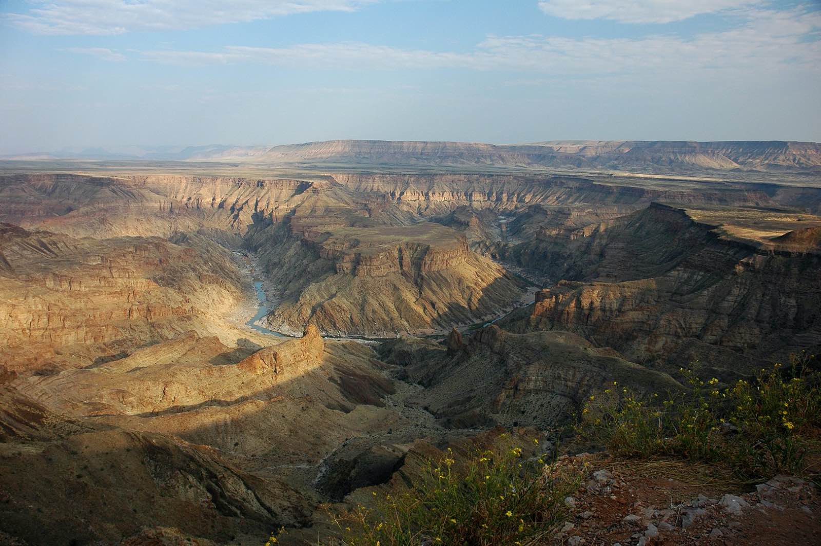
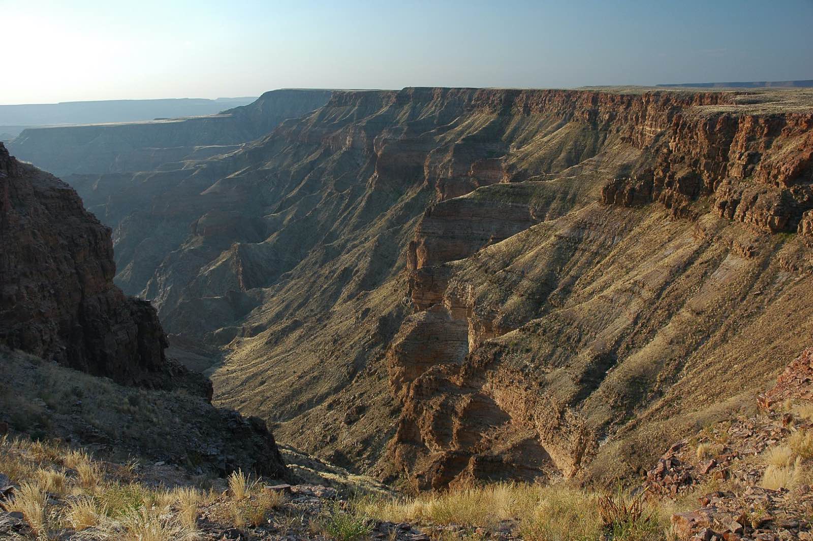
Fish River Canyon, Namibia
Carry-all (including drinking water), marvel at the stars, and leave no trace.
Distance: It is 90km or less if you take the official demarcated short cuts along the way. Taking all shortcuts will reduce the distance to about 75km, but while shorter routes may cut the kilometres the routes are sometimes more challenging than the flat hike along the canyon floor.
Duration: 5 Days on average, while some challenge themselves to do it in 4 days and others plan to take it easier and complete the mileage in 6 days.
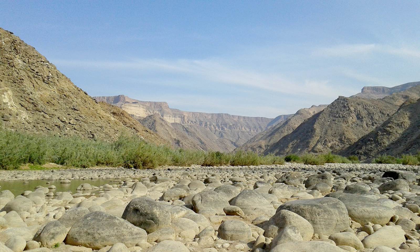
Difficulty: This 5-day hike is a challenge in terms of heat and some days covering rather demanding terrain, like soft river sand and boulders. The first two days are slow-going with some boulder and rock jumping, and then things flatten out for a bit and you’ll cover more ground, and come day four, there is a bit of varying terrain which keeps you guessing and keeps you challenged. A steep descent into the canyon on the first day is tough for some people, while more experienced hikers won’t find it a problem. Overall, a moderate level of fitness is required to complete this hike, and you are likely to be nursing blisters in a euphoric state of “I did it!” at the end.
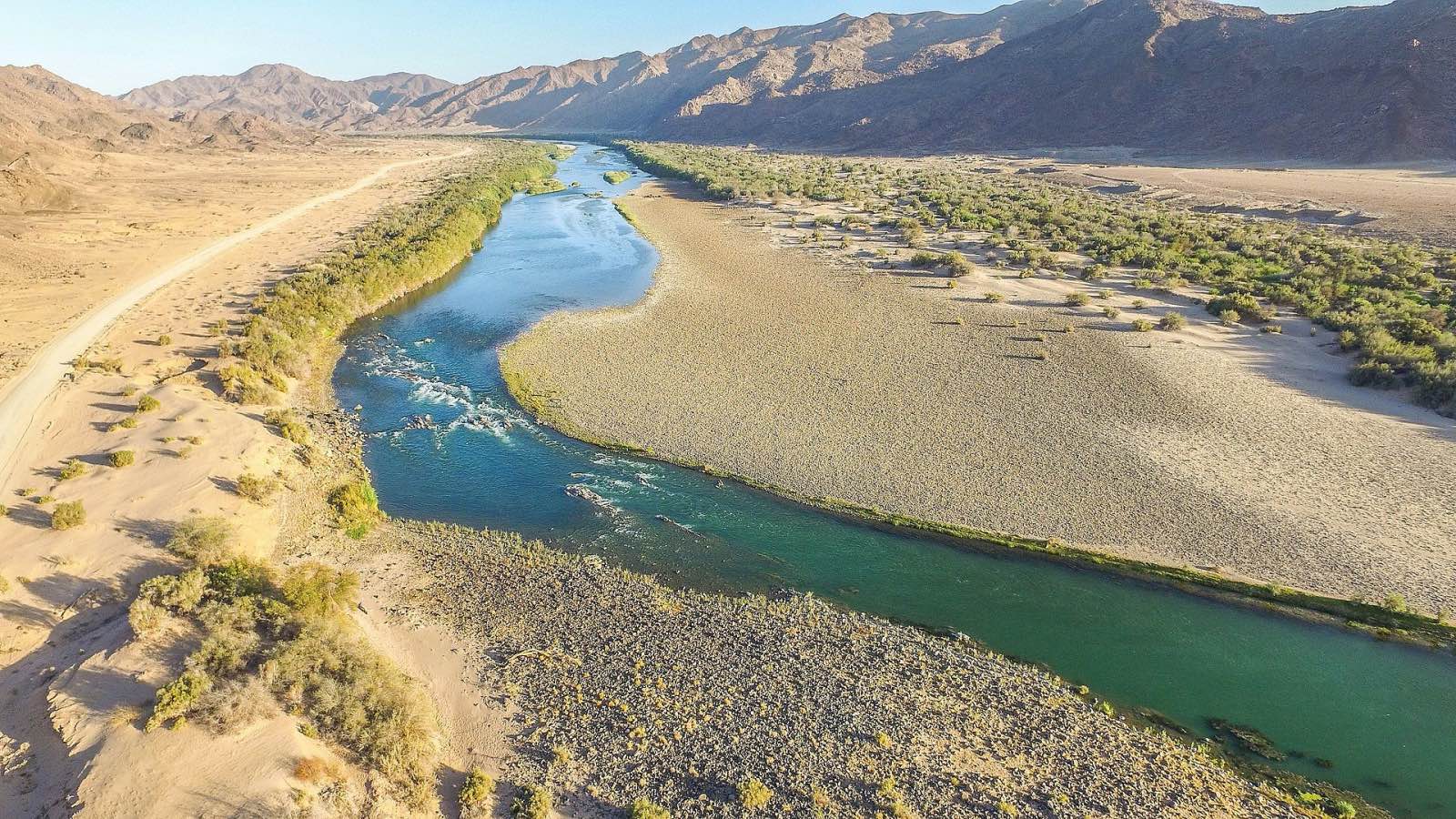
Season: The hike is closed during the summer rainfall season between October and March because conditions are too harsh. Winter is the time to hike the Fish River Canyon (between May to mid-September) and while temperatures during the day are mild in comparison to summer, they can reach 30 degrees or more at midday, so prepare to get hot. Night time can be on the opposite end of the spectrum and get very cold in the middle of winter, so come prepared, but you might get lucky and have rather balmy weather. Try and check out the water levels of the Fish River before you choose your dates because you really want there to be some pools of water to cool off in along the way! And another time-orientated tip: try and hike when the moon is new so that you can make the most of the stars.
Highlights: You will be amazed by the amount of wildlife in a vastly arid environment, from Namibia’s famous wild horses to zebra, kudu, baboons, plenty of birds and all sorts of rock-scuttling lizards. Then there are the superb rock formations and the sulphur hot springs that you can soothe your muscles in on day two. Seeing the canyon walls light up in the amber sun of the late afternoon is a vision that will stay with you, as are the stars, which do not fail to impress in this remote, deserted environment. Magic.
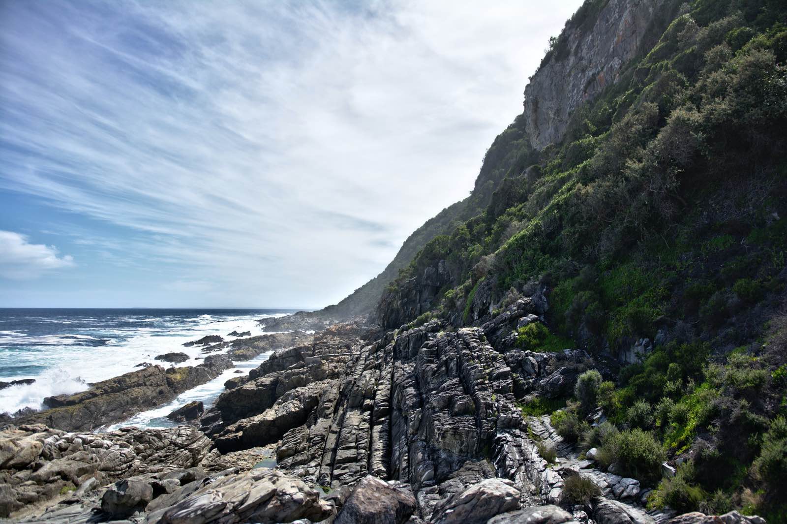
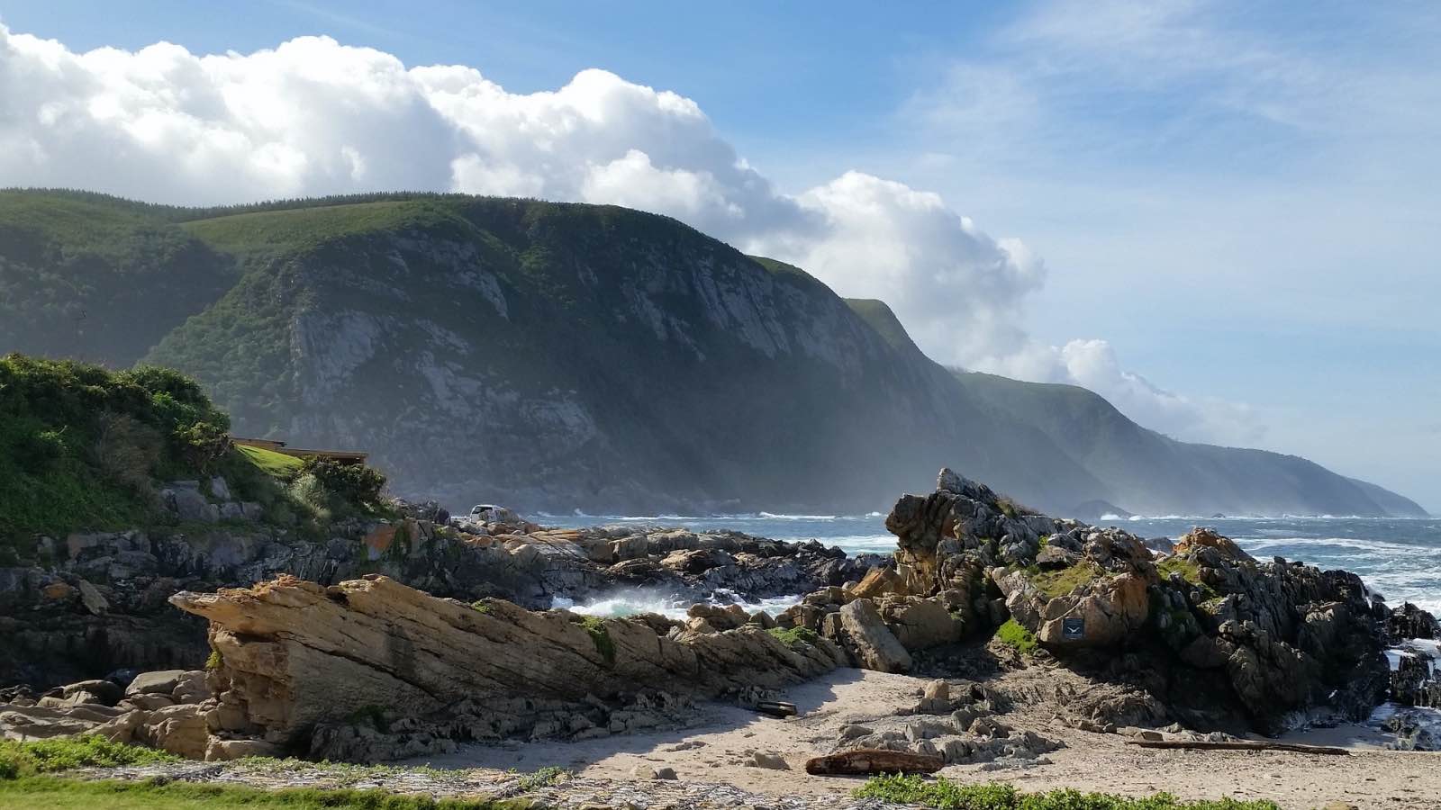
The Otter Trail, South Africa
Scramble along the famously rugged coast on the oldest hiking trail in South Africa.
Distance: Rounded up, it’s 45km; exactly, it’s 42.5km of glorious fresh sea air, coastal caves and cliffs, waterfalls, and rivers in the forest.
Duration: 5 Days spent to cover this distance, which while short, is technical.
Difficulty: The Otter Trail is pretty tough and the most you’ll cover in one day by a quite a long way is 14km. There is a lot of up and down as you scramble over rocky sections and ascend to walk along the cliff tops overlooking the sea, then descend to cross the rivers. Not only do you have to be physically prepared for this as a hike, you must also be a competent swimmer because, depending on the tide, there are two rivers you might need to swim across. It is less about endurance and more about technical ability on a variety of terrains including steep climbs and descents, boulders, and beach sand. The luxury of this trail is that there is a comfortable bed, a loo, and a braai place at the end of each day! There are rubbish bins to dispose of your trash at your overnight huts, and there are plenty of water points along the way. Every challenge is met with the ultimate reward, making it a spectacular adventure!
Season: The Otter Trail is open all year round, but it is important to consider the rain in winter, because no one wants to hike a coastal trail in the rain! Winter lasts from May to September with August being the wettest season. It can be cold and miserable during this time, while the peak of summer from December to February can pack some pretty hot weather. To avoid either extreme, we recommend booking in the spring or autumn months (September to November and March to May), but we’d take sunshine over rain any day and there are a few opportunities to swim and get wet along the way, so that will serve as a great relief from the summer heat. Very importantly, check the tide timetable and time your departure time and keep your pace in check to meet the big river crossings (Elandsbos and Bloukrans) at low tide.
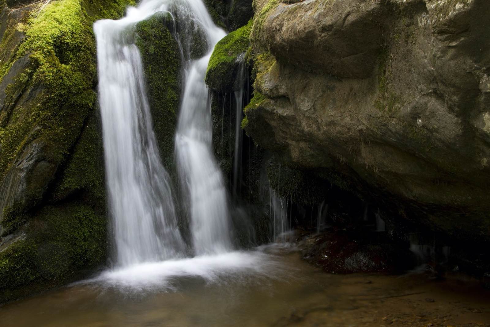
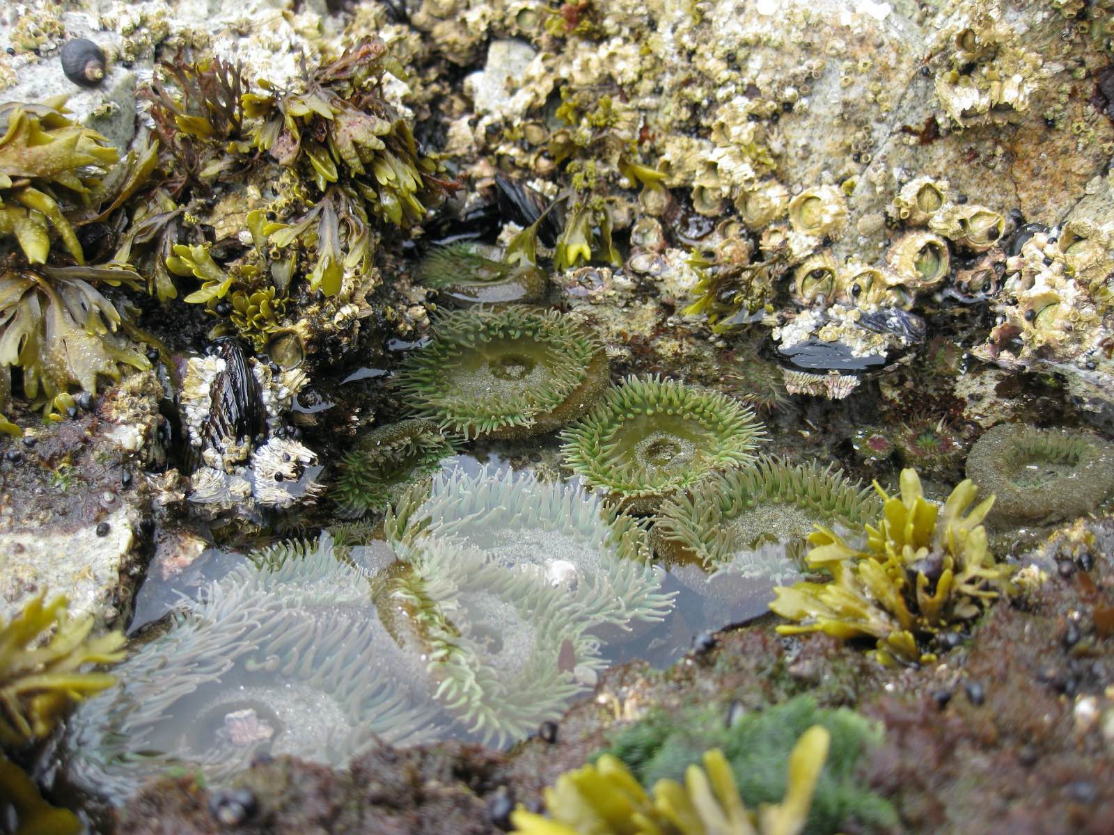
Highlights: Aside from the continuously impressive view of South Africa’s Indian Ocean coastline, you’ll be in for a treat with the coastal forest wildlife. The trail is named after the Cape clawless otter, so keep a keen eye out for a special sighting. Otherwise, you’re walking in the territory of bush buck and bush pig, honey badger, caracal, genet, baboon, vervet monkey, and leopard. Keep an eye out for whales, seals, and dolphins too! Some highlights along the route include regularly swimming in rivers and the sea, plus there is a tidal pool on day three where you can snorkel and jump into from a rock. Jerling River waterfall on day one is the first great reward of this hike, and ending each day in a bed with running water, shower, toilet, and a braai place brings comfort and relief.
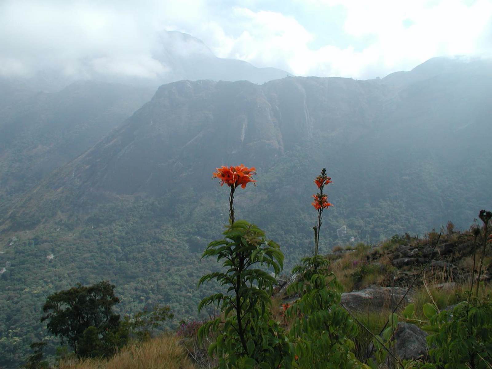
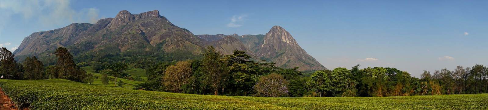
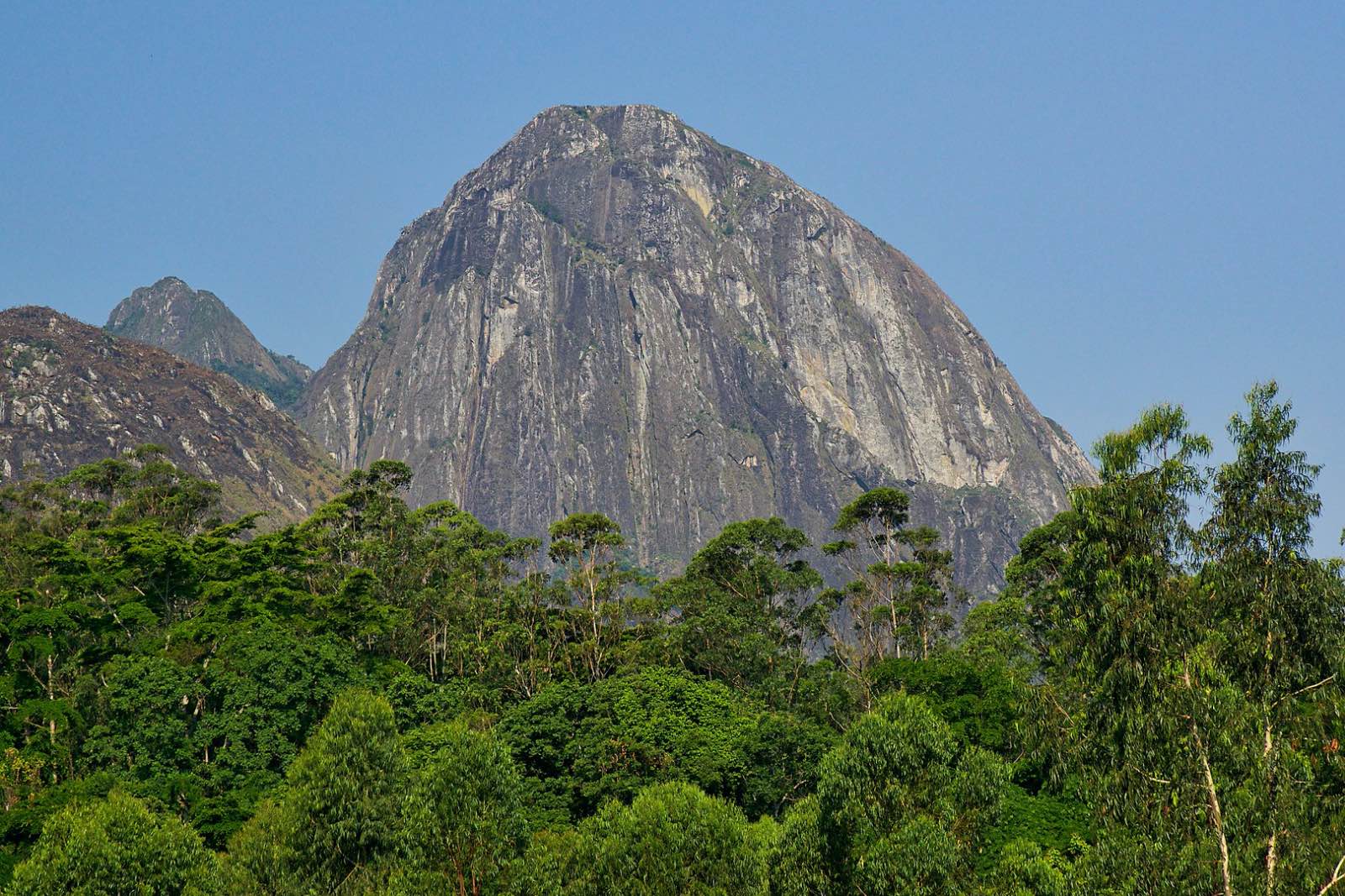
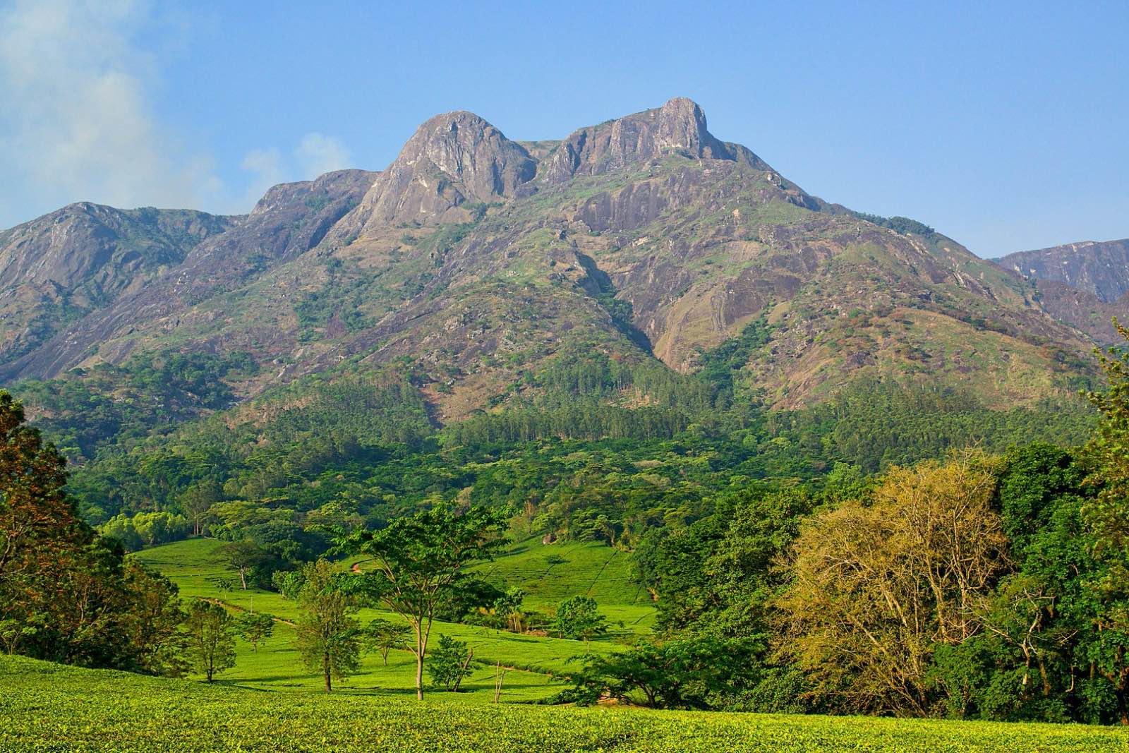
Mount Mulanje, Malawi
Scale high altitude rock faces on a granite “Island in the Sky”
Distance: There are various routes for hiking Mount Mulanje, ranging from a one-day excursions to different scenic spots and covering between 4km and 21km; to the Grand Traverse, which is the famous 53km challenge to summit Sapitwa Peak and climb 3000m over five days. So use this very useful guide to all 18 different options and take your pick! For this, we’ll detail the Big Daddy of Mulanje climbs, the Grand Traverse.
Duration: 5 Days in total if you stick to the route, but can be extended if you want to include other peaks along the way. Over these five days, hikers will cross the length of Mount Mulanje, overnighting at different rustic huts each night, and reach its highest peak, Sapitwa at 3000m above sea level.
Difficulty: This one is ranked as a 4/5 in terms of difficulty, and it undoubtedly requires some nimble climbing ability, a moderate to high level of fitness, and experience in hiking. Hiring an official guide is mandatory and employing a porter is recommended. There are some steep climbs and technical challenges like rock scrambling and river crossings. The ascent to Sapitwa Peak will require scaling rock faces using your hands and feet. Average hiking hours per day is about five, but some days it is as few as three or as many as eight. The views, vegetation, pools, and streams that decorate this great monolith that rises above the cloud make the effort endlessly rewarding.
Season: Hiking Malawi’s highest peak should not be attempted during the wet season when slopes will become slippery and dangerous. Rain is not uncommon, but you can try and avoid it by hiking during the drier season, which is from April to November. You can attempt a hike during the rest of the year, but you risk reaching a point and having to turn around without getting to summit Sapitwa.
Highlights: Mount Mulanje hikes take you into the heart of Malawi and you cross through rural villages which occupy the foothills of this cherished mountain. It is not a huge tourism hotspot, so things are more informal and you will have the benefit of getting to know local people by spending 5 days with your guide and porter. The biodiversity, presence of unique and often unknown butterflies and insects, and vegetation changes as you ascend in altitude, so there is always something new to see. The plunging views are to die for and there are numerous waterfalls, streams, and mountain pools to explore and splash in en route.